Local Walks
with printable directions
Step straight from your tent into the heart of the countryside with our collection of local and dog friendly walks. From peaceful riverside paths to village rambles and scenic circular routes, there’s something for every pace and mood. Each walk comes with clear step-by-step directions, and you can easily download a PDF guide to take with you—perfect for exploring without worrying about signal or getting lost.
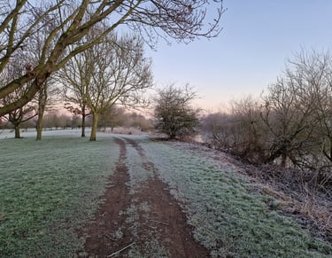
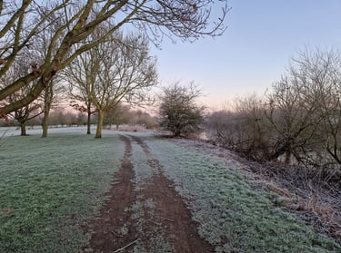
🌉 Aldwark Bridge Circular Walk
2.7 miles / 4.3 km
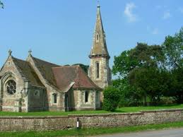
Begin at Aldwark Free Landing and enjoy a riverside path with golf course views, before crossing over by St Stephen’s Church. The route winds through Home Farm, open fields, and a marshy woodland trail before returning to the historic toll bridge.
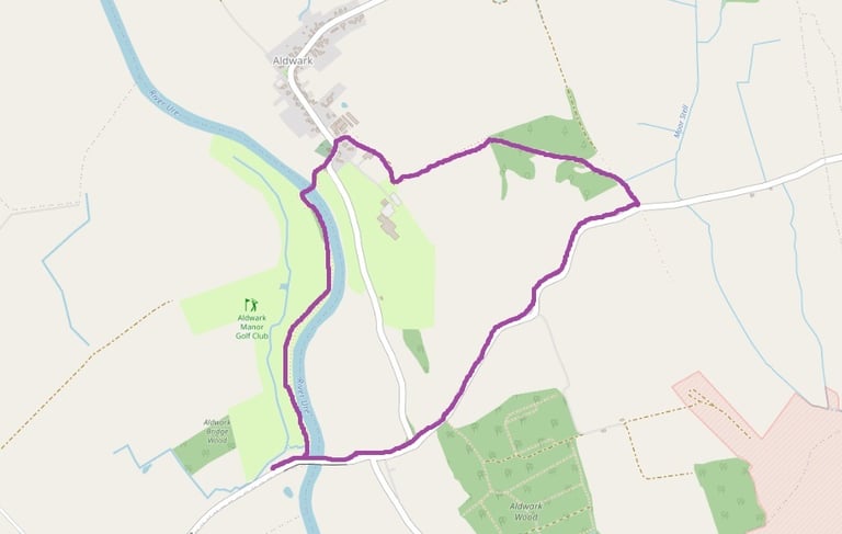
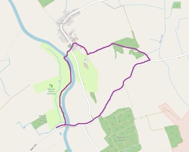
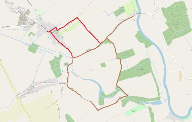
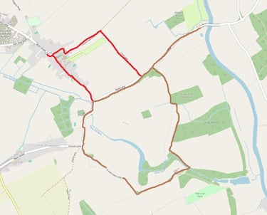
🦌 Deer Walk Circular
3.5 miles / 5.5 km (4.5 miles / 7 km)
This walk straight from the camp site starts on Boat Lane and the loop follows field paths and farm tracks where deer are often spotted at dawn and dusk. Passing hedgerows, woodland edges and open farmland, it’s a peaceful circular with plenty of wildlife to look out for along the way. A short extra detour takes you into Great Ouseburn for a coffee stop.
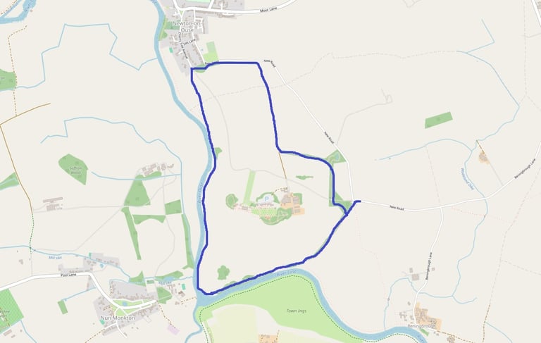
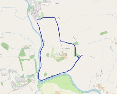
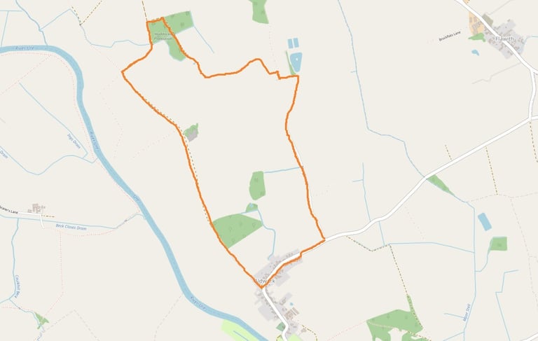
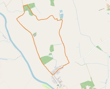
🏡 Aldwark Village Ramble
4 miles / 6 km (6 miles / 9 km walking from camp site)
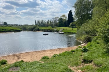
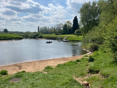
A gentle countryside loop starting from St Stephen’s Church, this ramble takes you along Rice Lane bridleway, past farmland, fishing ponds and quiet lanes before looping back into the village. Wide open skies and peaceful field edges make it a classic rural wander.

🌳 Beningbrough Hall Circular
3.7 miles / 6 km
Explore the historic Beningbrough estate on this riverside and woodland walk. Highlights include views of the hall, the Victorian water tower, the meeting point of the River Nidd and River Ouse, and seasonal bluebell woods—perfect for a longer countryside adventure.